
OVERVIEW;
The northern plains are formed by the alluvial deposits brought by the rivers – the Indus, the Ganga and the Brahmaputra. These plains extend approximately 3,200 km from the east to the west. The average width of these plains varies between 150-300 km. The maximum depth of alluvium deposits varies between 1,000-2,000 m. From the north to the south, these can be divided into three major zones: the Bhabar, the Tarai and the alluvial plains. The alluvial plains can be further divided into the Khadar and the Bhangar.
Bhabar is a narrow belt ranging between 8-10 km parallel to the Shiwalik foothills at the break-up of the slope. As a result of this, the streams and rivers coming from the mountains deposit heavy materials of rocks and boulders, and at times, disappear in this zone.
Tarai belt, with an approximate width of 10-20 km where most of the streams and rivers re-emerge without having any properly demarcated channel, thereby, creating marshy and swampy conditions known as the Tarai. This has a luxurious growth of natural vegetation and houses a varied wild life.
South of Tarai is a belt consisting of old and new alluvial deposits known as the Bhangar and Khadar respectively. These plains have characteristic features of mature stage of fluvial erosional and depositional landforms such as sand bars, meanders, oxbow lakes and braided channels.
DIVISIONS;
Brahmaputra Plains
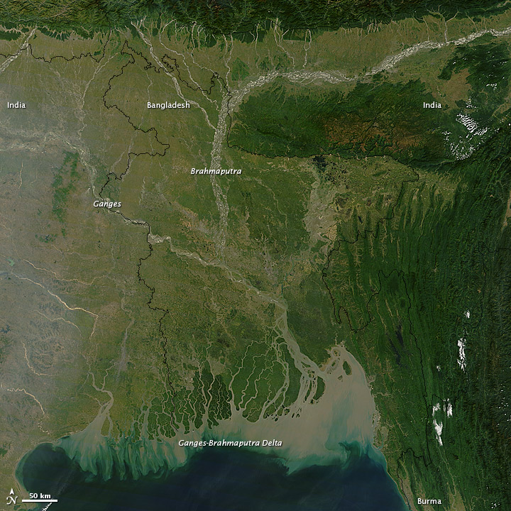
Brahmaputra plains are known for their riverine islands and sand bars. Most of these areas are subjected to periodic floods and shifting river courses forming braided streams. The mouths of these mighty rivers also form some of the largest deltas of the world, for example, the famous Sunderbans delta. These river valley plains have a fertile alluvial soil cover which supports a variety of crops like wheat, rice, sugarcane and jute, and hence, supports a large population.
Indo-Gangetic Plains
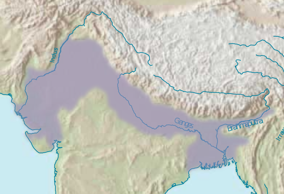
In India, the plains extend from Gujarat, Rajasthan and Punjab on the west to West Bengal on the east. The region is named after the Indus and the Ganges rivers and encompasses a number of large urban areas. The plain is bound on the north by the Himalayas, which feed its numerous rivers and are the source of the fertile alluvium deposited across the region by the two river systems. The southern edge of the plain is marked by the Chota Nagpur Plateau. On the west rises the Iranian Plateau.